| Research Title | .. | : | .. | Modeling Spatial and Temporal Methane Emission from Wetlands and Converted Wetland-to-Oil Palm Plantation Using Satellite |
| .. | .. | Remote Sensing Data. | ||
| Principal Investigator | .. | : | .. | Prof. Sr. Dr. Mazlan Hashim |
| Research Description | .. | : | .. | It is now widely understood and accepted that natural wetlands constitute a major source of methane emission to the |
| .. | .. | atmosphere, accounting for approximately 32 ± 9.4% of the total methane emission. Estimation of methane emission from wetlands at both local and national scale using process-based models would improve our understanding of their contribution to global methane emission.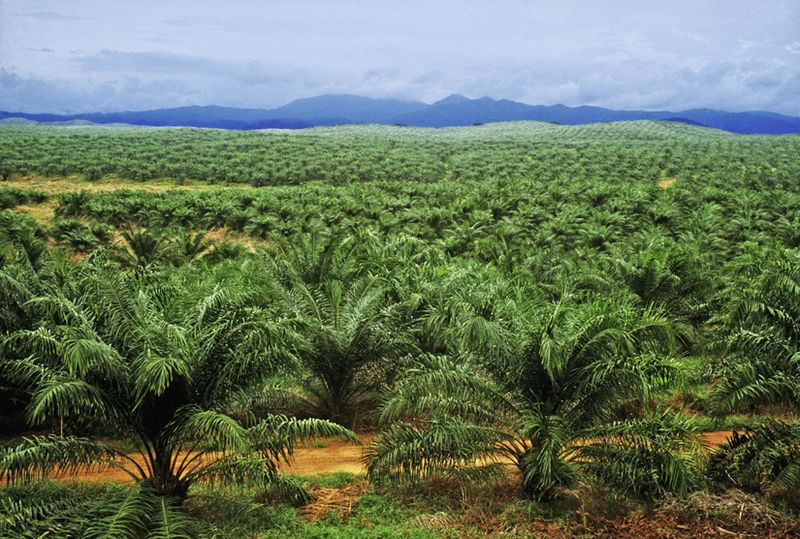 The aim of the study is to estimate the amount of methane emission from the selected wetland in Malaysia, using medium resolution satellite data (Landsat ETM+ and ASTER data) to estimate emission with a temperature increase. Supervised wetland classification was performed using the Maximum Likelihood Standard algorithm. The temperature dependent factor was obtained through land surface temperature (LST) estimation algorithms. Measurements of methane fluxes from the wetlands were performed using static chamber techniques and gas chromatography. The aim of the study is to estimate the amount of methane emission from the selected wetland in Malaysia, using medium resolution satellite data (Landsat ETM+ and ASTER data) to estimate emission with a temperature increase. Supervised wetland classification was performed using the Maximum Likelihood Standard algorithm. The temperature dependent factor was obtained through land surface temperature (LST) estimation algorithms. Measurements of methane fluxes from the wetlands were performed using static chamber techniques and gas chromatography.In addition, the archived satellite data dating back from early 80’s for the Landsat ETM+ to recent years will be used to study spatial and temporal modeling of amount methane emission with the respective of surface temperature changes. A process-based methane emission model, which included productivity factor, wetland area, methane flux, precipitation and evaporation ratio, was used to estimate the amount of methane emission from the wetlands. Geographic information system (GIS) provided the framework for analysis. The variability of methane emission from selected converted wetlands to large-scale oil palm plantation compared to forested wetlands will also be investigated. |
+6 07-553 0611
insteg@utm.my